

An invisible line runs right through the Bearpit indicating the parish boundary between St Pauls and St James. There are no existing visible indications on the site marking this boundary so Local Learning liaised with UWE History undergraduates, Laura and Poppy as part of their public engagement component of their course to convey this lost history.
They produced a presentation for Level 2 Art and Design students at City of Bristol College and included examples of parish boundary markers that can still be seen around Bristol. Local Learning encouraged the art students to locate the markers around the city and produce their own versions.
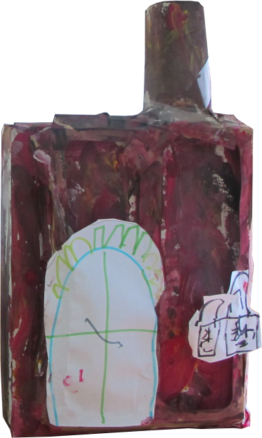
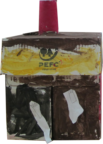
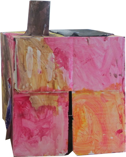
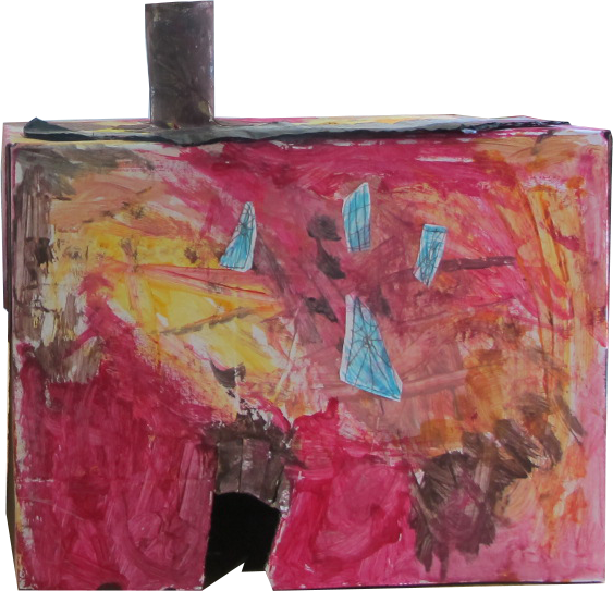
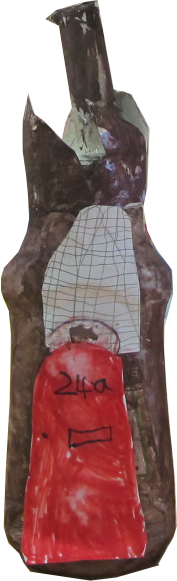
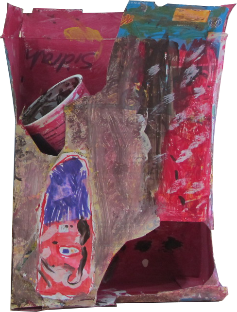
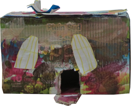
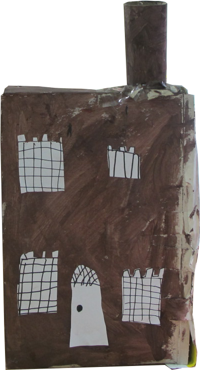
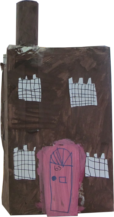
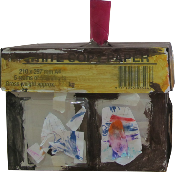
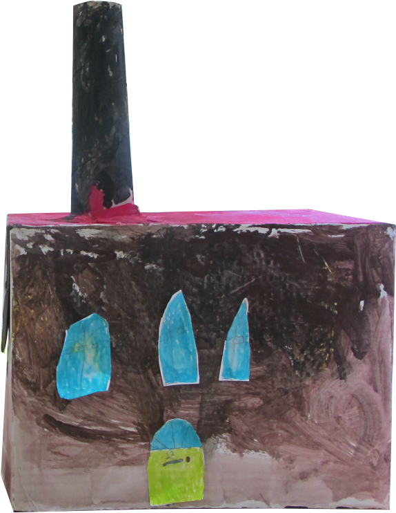
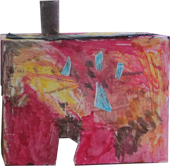
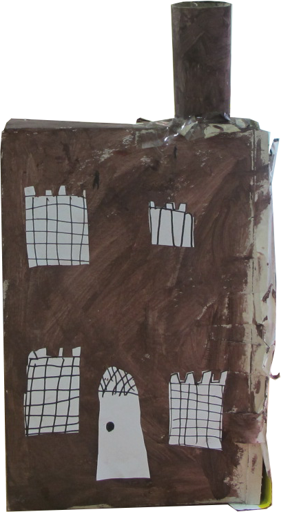
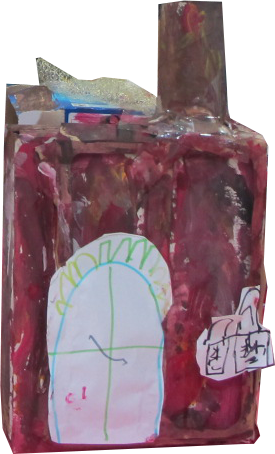
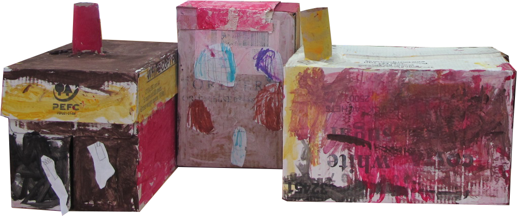
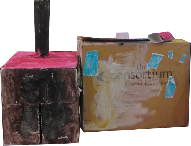
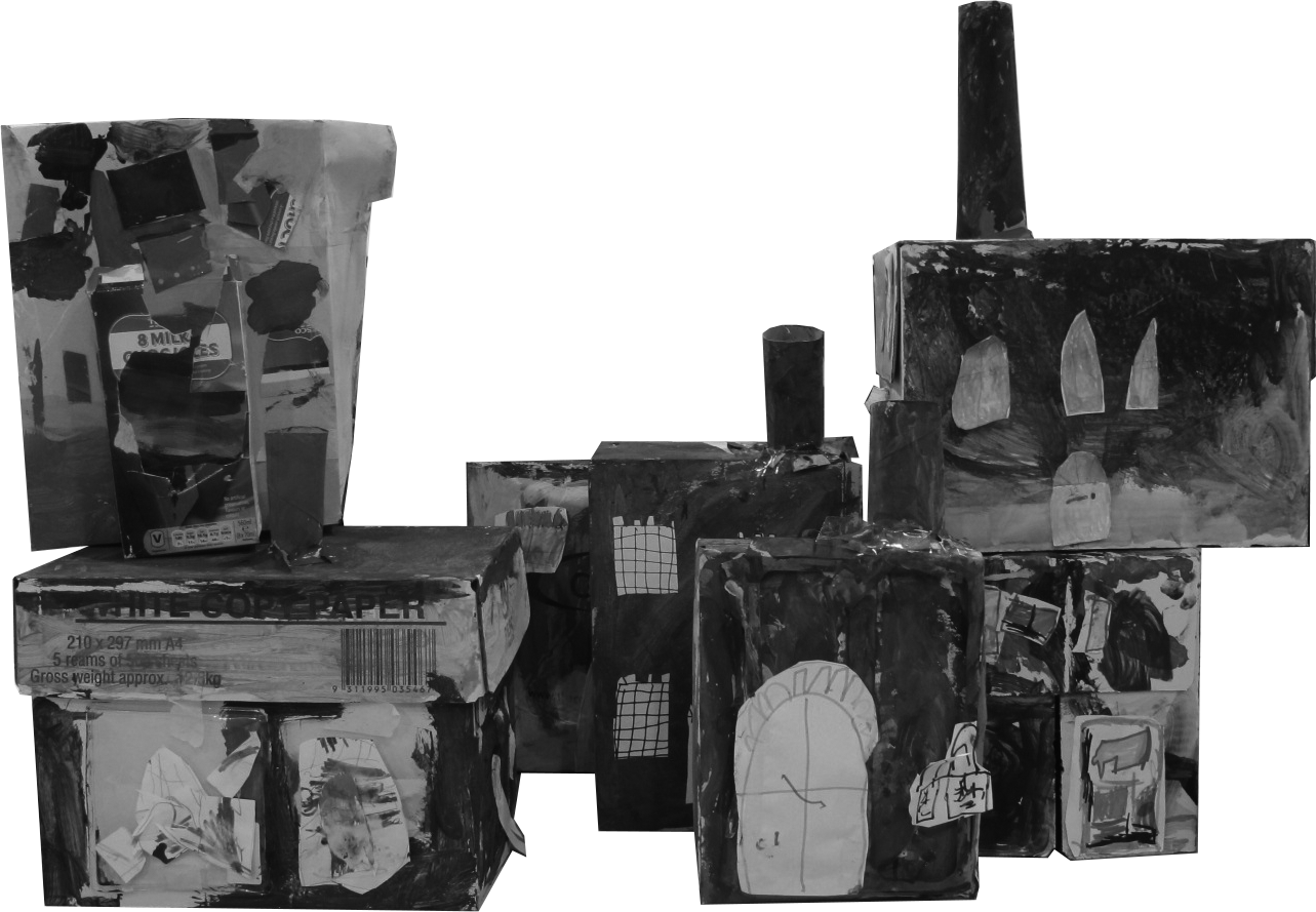
Local Learning also worked with Year 1 pupils (5 & 6 year olds) to think about the type of housing that was being built in the new parish of St Pauls in the late 1700s and early 1800s. We went on a walk around the area with copies of paintings from the early 1800s that are held at City Museum and Art Gallery. Building on their classwork on shapes we tried to see how many two and three dimensional shapes we could identify in the buildings we passed. The whole of Year 1 can now identify a variety of features typical of Georgian architecture such as the semi-circular fanlights over the doors, arched windows and pitched roofs.
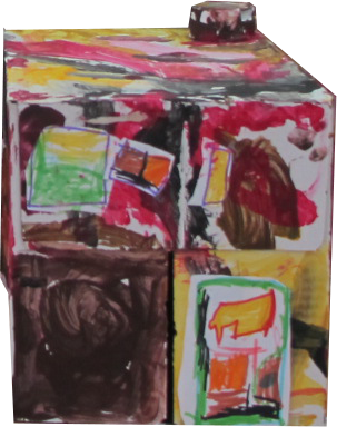
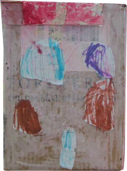
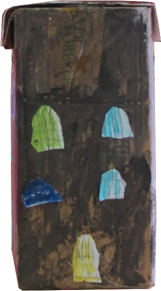
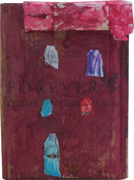
After this Year 1 produced their own models of the local buildings from cardboard boxes. Photographs of their “junk” models were used to populate the 1880s map for the panel.